


-
-
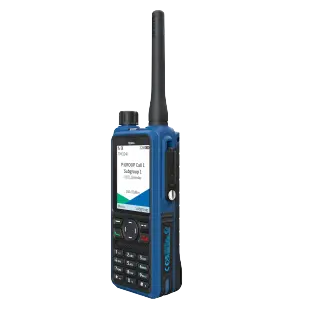
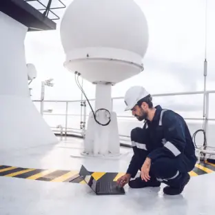
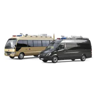
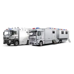
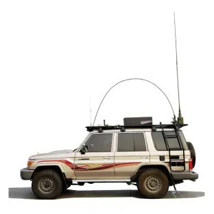
Industry Solutions
-
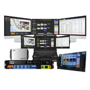
Convergence-Native Solutions
-
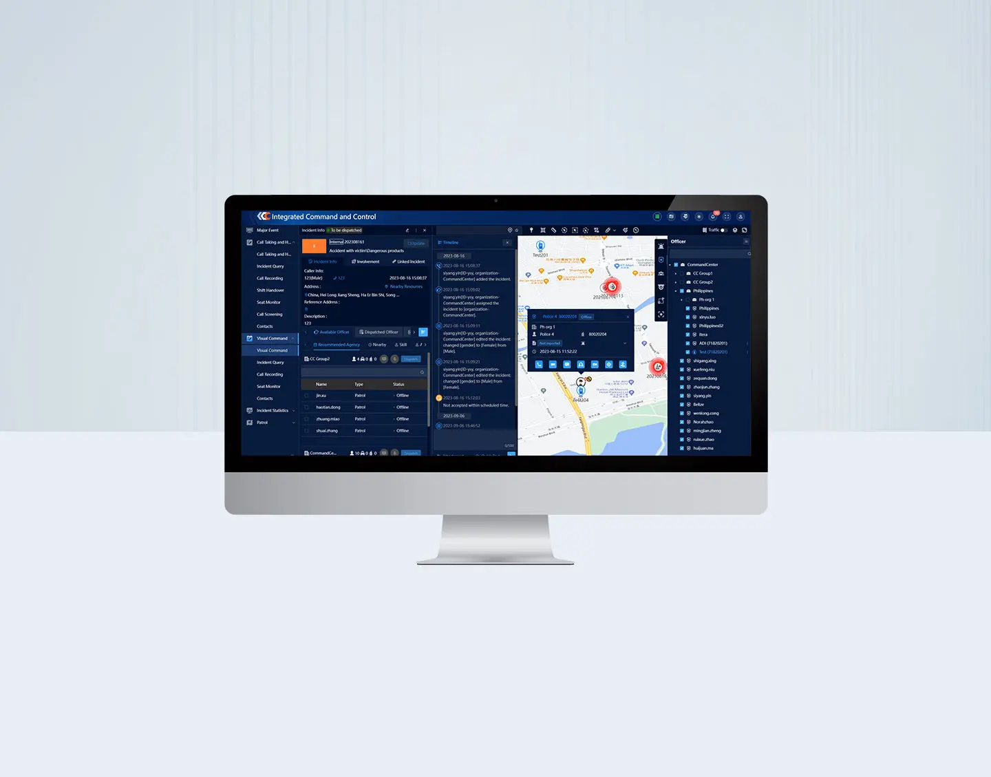
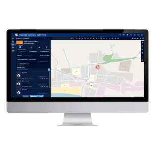
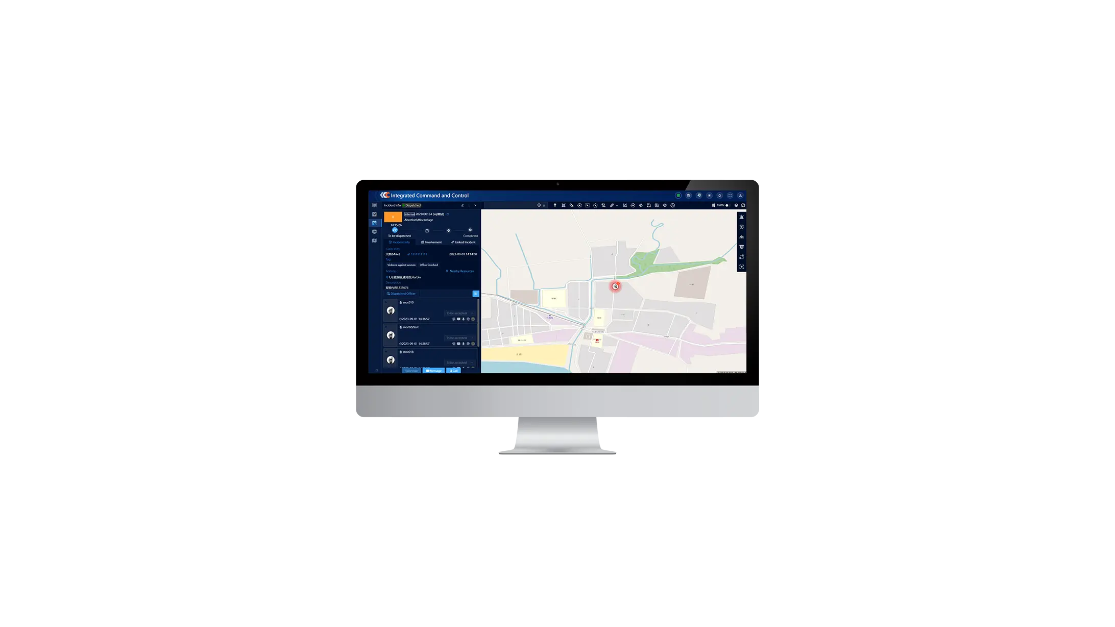
Unified display of resource
All the available resource can be displayed on one single map, such as police officers, police vehicles, incident locations, CCTV cameras, IoT sensors, and etc.
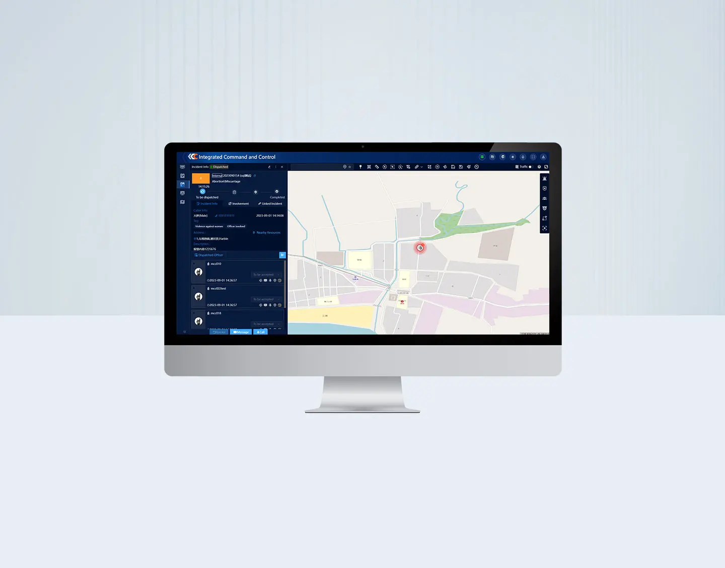
Controllable and traceable incident handling process
- Real-time display and tracking of police officers’ location
- Timeline based recording and display of the entire process including; action performed, incident status change, SMS and voice calls involved
- Timeline based instant playback voice and video calls
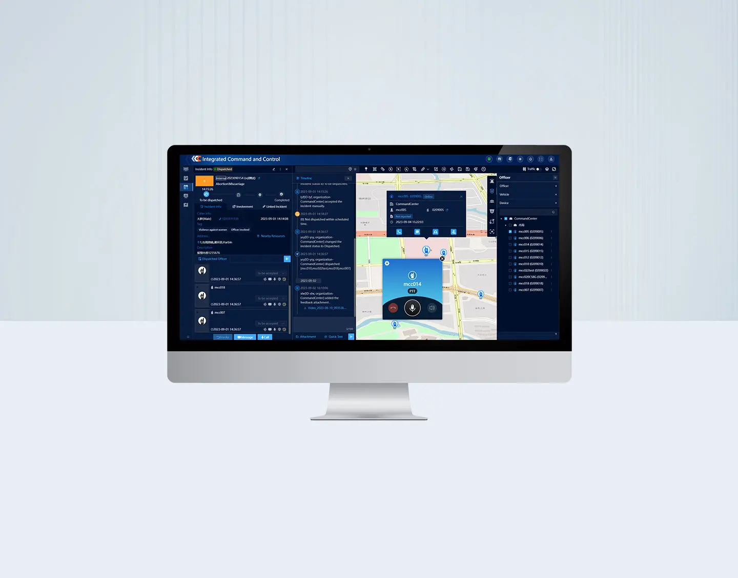
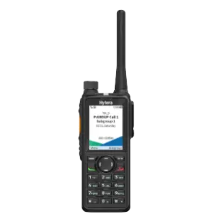
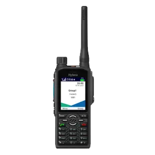
Rich communication functions supported
-Voice calls to public network and PMR respectively
- Individual, group call, DGNA, cross patch in PMR
- Conference call across public network and PMR, allowing a 3 parties call among the alarm caller, dispatcher and officers in the field
- Video calls as well as multimedia messages
- On-site video pulling
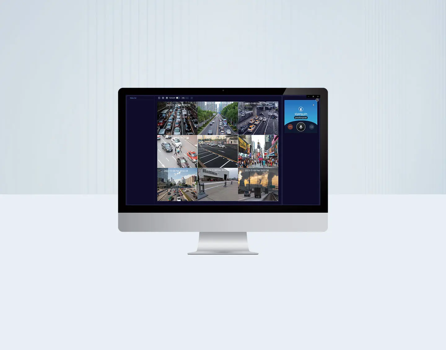
Seamless integration with 3rd party CCTV system
- Display CCTV camera locations on the map
- View real-time video captured by CCTV cameras
- Grouping of cameras by agency/activity/incident/area
- Supports up to 3x3 display